Monday, June 29, 2015

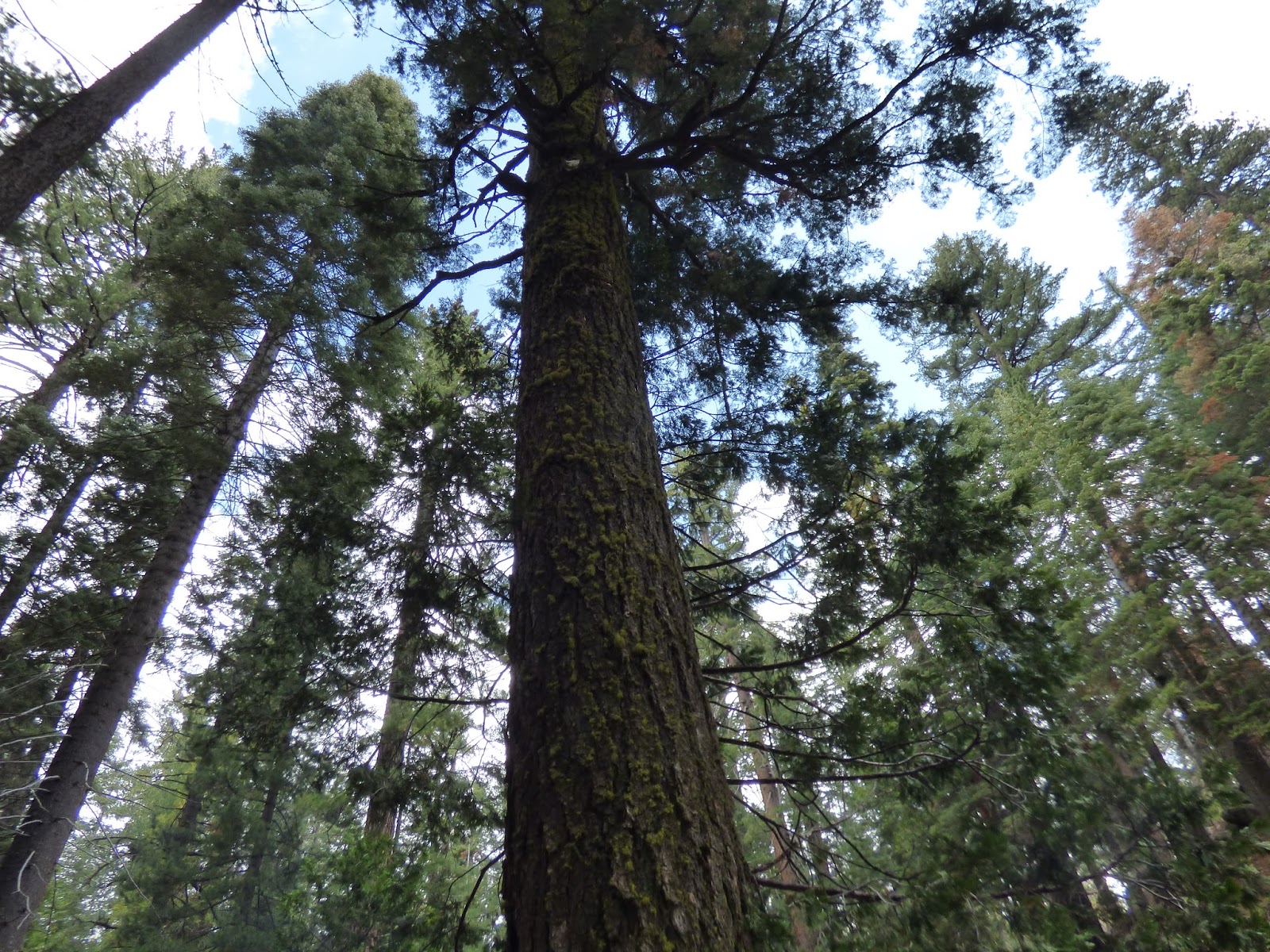
The Forests of the Sierra Nevada

Blackened tree Yosemite NP Between Big Oak Flat Info Center and Entrance to Yosemite Valley, Big Oak Flat Road

One sees the evidence of recent fires all around.  The forest composition changes with elevation.  Incense cedars are seen in much of the Sierra Nevada forest.

Tuesday, June 9, 2015

What I Saw - The Range of Light

Conifers including Sugar Pines - Yosemite NP - Big Oak Flat Road After and  Near Big Oak Flat Station


From the Sacramento Airport one travels south on I-5.  It is a mistake to exit to I-80.  One must pass the I-80 exit ramp and continue south on I-5. Taking I-80 will take the traveler to Reno. I-80 never meets CA-99, the needed highway to proceed to the Sierra Nevadas. The correct exit is Business I-80.  The naming is confusing for a Sacramento traveler but the correct selection must be made.  Business I-80 is also state route 50.
From Business I-80 one travels to CA-99.  CA-99 takes one to the San Joaquin valley.  There is an illness called San Joaquin Valley Fever that is caused by inhalation of airborne dust or dirt. The causative organism is the fungus Coccidioides immitis. C. immitis resides in the soil.  The valley has many groves. Cherries are grown in the area near Stockton.  This a large cherry producing area.

From  CA-99 one travels to SR 4.  SR 4 goes to Copperopolis.  From Copperopolis one begins to climb into the Sierra Nevada range.  From SR 4 one travels SR 49 to go further east.  The SR 49 bridge over the New Melones Reservoir is a beautiful bridge.   The water levels in the New Molones Reservoir are strikingly lower than past years.

 One may take SR 49 to SR 120.  SR 120 winds its way to the Big Oak Flat entrance station to Yosemite National Park.  Fires have burned parts of the conifers along the alignment of SR 120. The Rim Fire in 2013 burned many trees along SR 120.

The Sierra Nevadas though logged in the national forest areas have in their highlands Yosemite National park.  The park is a World Heritage Site and an International Biosphere Reserve.  As one enters the park one becomes one with the land.  One feels like one is going home.


What I saw - The Range of Light


Yosemite NP - Highway 41- From Tunnel View Overlook


Light...
I know not a singular word fine enough for Light.
Holy beamless, bodiless, inaudible floods of Light.

- John Muir

Saturday, May 30, 2015

Cliffs and places - Indiana

Massive Rock - Rocky Hollow Falls Canyon, Indiana


The Turkey Run area has cool shady areas such as the Rocky Hollow Falls Canyon where rare plants may grow.  The ravines have been sculpted by the running water making unusual shapes in the rock faces.

Monday, May 11, 2015

What I saw - Bridge over Sugar Creek, Indiana


The red siding is the side of the covered bridge.  The bridge abutment is
fashioned from Mansfield sandstone.

A stream in the area near Crawfordsville, Indiana is called Turkey Run.  But a much broader area than the immediate area of the stream is known as Turkey Run.

Layers of sand at the bottom of the sea were compressed to become sandstone.  This is the local   Mansfield sandstone.
There is a metal plaque on the door of the house where John Lusk lived. The house is near the Narrows point in Sugar Creek.  The 1883 covered bridge crosses the creek here at the Narrows. The plaque reads “To the memory of John Lusk who saved the trees of Turkey Run.”  The plaque is labeled “The Nature Study Club of Indiana.”

What better thing can be said of a person than he "saved the trees."  In so many cases irreplaceable trees have been lost.  Thanks to John Lusk the trees of Turkey Run are living to this day.

"These forests were composed of about five hundred species of trees, all of them in some way useful to man, ranging in size from twenty-five feet in height and less than one foot in diameter at the ground to four hundred feet in height and more than twenty feet in diameter,—lordly monarchs proclaiming the gospel of beauty like apostles. For many a century after the ice-ploughs were melted, nature fed them and dressed them every day; working like a man, a loving, devoted, painstaking gardener; fingering every leaf and flower and mossy furrowed bole; bending, trimming, modeling, balancing, painting them with the loveliest colors; bringing over them now clouds with cooling shadows and showers, now sunshine; fanning them with gentle winds and rustling their leaves; exercising them in every fibre with storms, and pruning them; loading them with flowers and fruit, loading them with snow, and ever making them more beautiful as the years rolled by. Wide-branching oak and elm in endless variety, walnut and maple, chestnut and beech, ilex and locust, touching limb to limb, spread a leafy translucent canopy along the coast of the Atlantic over the wrinkled folds and ridges of the Alleghanies,—a green billowy sea in summer, golden and purple in autumn, pearly gray like a steadfast frozen mist of interlacing branches and sprays in leafless, restful winter."  John Muir

What I saw - Indiana scenic places


Wedge Rock - This huge rock fell into the ravine from the top of the ravine. The
 trees give help with the size of the rock and the time that the rock has been
resting at its current location.

Punch Bowl - This place shows the work of the erosion of the rock


In Western Indiana the Sugar Creek area near Crawfordsville was once under a sea.  Layers of sand at the bottom of the sea were compressed to become sandstone.  This is now named the Mansfield sandstone. The coal that is found in the area was laid down during the time that the sea was gone but marshes covered the area.  After that time the area was covered with ice.  Rock brought with the ice is called glacial drift.  This material lodged in waterways and changed the flow of surface water.
New surface water streams developed in the area.  The stream that that is now known as Sugar Creek changed the look of the area. Sugar Creek and its tributaries eroded into the Mansfield sandstone.  In places the deep ravine is wider than the upper reaches of the ravine.  The eroded canyons have dramatic shapes.  The cool shady areas provide habitat for rare plants.

When one walks in a Northerly direction the path comes an area of bare rock that looks something like a sloped stack of oatmeal cookies.  A cascade of water noisily falls down this stack of rocks.  The wet rock surfaces are slippery.  After climbing that sloped area the sides of the ravine narrow until one finds almost no places to step without stepping into the high velocity water rushing toward the walker.

A dramatic passageway that goes on for dozens of feet must be negotiated with the churning water constantly flowing through the sandstone.  It is possible to make it through without stepping into the rushing water but it takes some doing.

It is a place of becoming very close to the rock cliff faces.


Monday, May 4, 2015

The radiance of the Sierra


The radiance in some places is so great as to be fairly dazzling, keen lance-rays of every color flashing, sparkling in glorious abundance, joining the plants in their fine, brave beauty-work,-
every flower, every crystal, a window opening into heaven, a mirror reflecting the Creator.

John Muir

This writing is so powerful that it must be repeated.